Tuesday, September 10, 2013

Biking Along the River With Two Names

I brought a point-and-shoot along for a bike ride along the Oklahoma (also known as the North Canadian) River Trail.  The pictures presented below are from the south side of the river.  The trail is 7 miles long, starting between Portland and Meridian Avenues, and ending immediately west of the southbound I-35 bridge.  The ride is easy, flat, paved, and features scenic views of downtown Oklahoma City.

Riding eastbound beneath Interstate 44.
Local wildlife at Wiley Post Park.
The end of the trail with Interstate 35 in the background.
Boathouse District and downtown Oklahoma City.
Westward view toward Interstate 44.

Wednesday, September 04, 2013

Monument Valley

I spent a couple of hours on August 27th hanging out near the UT/AZ border hoping for wild atmospheric colors as the sun set behind Monument Valley.  The sunset wasn't all that spectacular, but it was still hard to take a bad picture when working with this kind of landscape (see below).

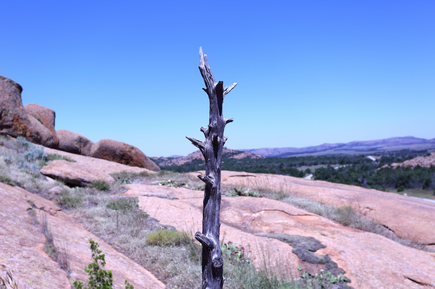
Wichita Mountains - Plants and Animals

Monday, September 02, 2013

Canyonlands National Park

I spent half a day at Canyonlands National Park on August 30th.  After driving all day from Nampa, ID, I arrived in Moab, UT at around 1130pm, bought some supplies, then headed into the Island in the Sky section of the Park.  I slept in the back of my truck at the Willow Flat campgrounds, and set my alarm for an hour before sunrise.  After waking up, I headed over to the Grand View Point Overlook and took star and sunrise pictures.  After sunrise, I headed over to Upheaval Dome and explored what geologists believe is an meteorite impact crater.  Next, I hiked a few miles of the Alcove Spring Trail.  I was starting to get hungry by this point, so I headed back to Moab for lunch, stopping briefly along a pullout near the edge of the park to photograph an impressive view from the canyon rim.

Milky Way over Canyonlands National Park.
Lingering stars over Grand View Point Overlook.
Grand View Point Overlook.
Distant butte and mesas.
Upheaval Dome.  Geologists believe this area is either a collapsed salt dome, or a meteorite impact crater.  Evidence supports the meteorite explanation more strongly.
View from the Alcove Springs Trail.
Another view from the Alcove Springs Trail.
Parting shot from the canyon rim.

Sunday, September 01, 2013

Lake Powell and Glen Canyon

I camped along the shore of Lake Powell at the Lone Rock campgrounds on August 26th/27th.  Rich moisture (relatively speaking) was being drawn northward from a tropical storm located near the Baja Peninsula, which yielded heavy thunderstorms during my visit to the area.  After enduring an epic night of lightning and torrential rain (which soaked all of my belongings not stored inside my truck), I woke up to clear skies and an incredible sunrise.  I was planning on touring Antelope Canyon (located near Page, AZ) on the 27th, and then hiking Buckskin Gulch the next day, but the heavy rain flooded all of the slot canyons, and I salvaged my visit by spending the day photographing Lake Powell and Glen Canyon.

Sunrise over Lake Powell, viewed from the Lone Rock campgrounds.
Lone Rock.
Storm developing north of Lake Powell.
Horseshoe Bend.  The Colorado River is located 1000 feet below the  canyon rim.
Glen Canyon Dam.
Glen Canyon.
Glen Canyon Dam.
Glen Canyon Dam visitor center and Glen Canyon Dam Bridge.
Lake Powell.

Wupatki National Monument

Wupatki National Monument features numerous settlements inhabited around 1000 years ago by the Pueblo People.  Short hikes throughout the monument lead to the remains of dwellings, some more intact than others.  Wupatki National Monument is 30 minutes northeast of Flagstaff, AZ off of highway 89, and is also adjacent to Sunset Crater Volcano National Monument.

Box Canyon Pueblo.
Box Canyon Pueblo.
Box Canyon Pueblo.
Box Canyon Pueblo.
Citadel Pueblo is located atop a lava butte.
Citadel Pueblo.
Wupatki Pueblo can be reached after hiking a short distance from the visitor center.
Wupatki Pueblo.

Humphreys Peak - Arizona

I hiked to the top of Humphreys Peak on August 25th, which is located near Flagstaff, AZ.  This is an ultra prominence peak (6000+ feet), but luckily the trailhead starts at 9300 feet, which leaves only 3300 feet to ascend over roughly 4.75 miles.  The trail below treeline is excellent and not too steep.  Above treeline, basically beyond the col located between Humphreys and Agassiz Peak, the trail turns north and becomes more loose...but still nothing too difficult. The route beyond the col tends to stay west of the ridgeline, and also ascends several false summits, which can lead to some discouragement.  I started the hike at 2am, in order to beat stormy weather that was expected to arrive later in the day.  I reached the top at around 530am, surrounded by layers of clouds.  I spent around 15 minutes on the summit and then headed back down.  Once below treeline again, I started to encounter other groups of people hiking up.  A persistent drizzle turned to a steady moderate rain as I approached the end of the descent, and I was a wet, muddy, miserable mess by the time I reached my car at 830am.


Family Adventures in the Rockies // Grottos Ice Caves/Mount Sherman

 My mom and nephew made a trip to central Colorado during early summer and we all had a blast hiking a couple of unique geological features,...