Tuesday, August 17, 2021

Pyramid Peak /Almost/

 Carly Kovacik and myself made an attempt on Pyramid Peak during early August. We initially missed the climbers trail that branches off from the tourist trail by about a quarter mile, and had to backtrack during the pre-dawn-hours. We eventually got back on track and soon began a grueling ascent up a long series of switch backs. That was followed by a traverse across a large boulder field that gave access to a 1000 foot climb up a very steep section of loose dirt and rock. We then reached a ridge and traversed across exposed ledges. We finally reached the "leap of faith" and a walk across a cliff. I wasn't in the right frame of mind to tackle that section and the class 3 climb up the "Green Wall," so Carly and I turned back. This was an unfortunate turn of events for everyone, but I don't have any regrets, and was still satisfied with the alpine experience.

Google map location is here.

Monday, August 16, 2021

Longs Peak - Keyhole Route

Carly Kovacik and I summited Longs Peak during early/mid August. We made an attempt on the mountain last year, but encountered route finding difficulties during the pre-dawn hours and had to turn back. No such problems were encountered this time around. We successfully navigated the Boulder Field, Keyhole, Ledges, Trough, Narrows, and Homestretch...albeit we had to take a brief nap before the Boulder Field due to a relative lack of acclimatization given we just arrived from sea level. All-in-all a perfect day in the mountains with little wind, brilliant sunshine, dissipating wildfire smoke, and fairly mild temperatures.

YouTube video is here: [https://www.youtube.com/watch?v=AmBrcK8Odpg]. Google map location is here.


Sunday, August 15, 2021

North Maroon Peak - Northeast Ridge

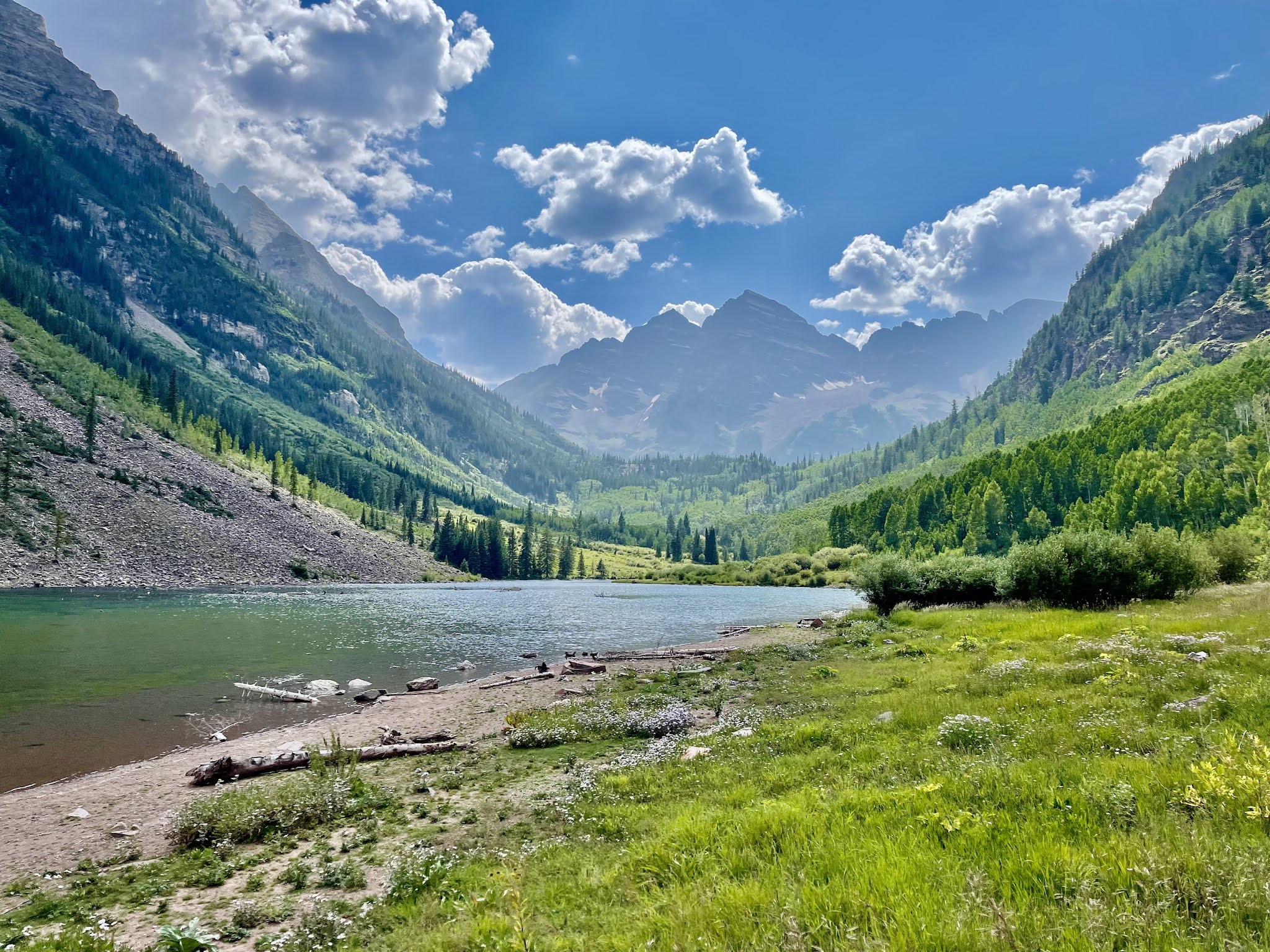
 Carly Kovacik and I reached the summit of North Maroon Peak via the Northeast Ridge during early/mid August. I made an attempt on this mountain nearly 10 years ago, but got cliffed out near 13,000 feet and lost the route. Carly and I didn't have that problem, as we found a weakness through the cliff bands and ledges and reached the northeast ridge. We then strolled to the 20-40 foot class 4 chimney. At first I was afraid I wouldn't be able to down climb the chimney, and was reluctant to ascend. But, I reasoned there would be a way down and thus went on up. The toughest part of the chimney was a ~5 foot stretch at the top from one side to the other...it was a bit un-nerving due to the amount of air below my body, but otherwise completely doable. 

 The remainder of the route to the summit involved a walk across the precipice, which was admittedly awesome and exhilarating being next to such a profound drop-off. Then, the final push up the last couple hundred feet of the mountain involved additional ledge traversing and slogging up loose rock and dirt. Carly and I reached the top in 6 hours. We soaked in the views from the summit and then began the grueling descent. I lowered myself down the top part of the chimney to a ledge 5 or 6 feet below the rim, and then made easy work down the rest of the crux. Thereafter, the remainder of the descent was generally miserable due to the steepness of the route and the loose nature of the rock. We made our way down gulley number 2, then traversed to gully number 1, then traversed to the rock glacier, and finally began to relax as we made our way to the tourist trail. Our elapsed car-to-summit-to-car time was 12 hours.

YouTube video is here: [https://www.youtube.com/watch?v=Nj7_qaL993Q]. Google map location is here.


Saturday, July 31, 2021

Granite Lake /Gibson Peak Fail/ - Trinity Alps

 My coworker Zahaira and myself set off from the Swift Creek trailhead with the intent of summiting Gibson Peak in the Trinity Alps. Unfortunately, I picked a bad route, and we ended up bushwhacking for what seemed like forever. Our energy was drained by the time we exited the steeply sloped bush. And to make matters worse, the air was thick with wildfire smoke emanating from the Butte County area. With lungs filled with smoke, and bodies screaming with each vertical step, Zahaira and I decided to give up Gibson and jump in Granite Lake, an alpine lake situated at the base of Gibson Peak. The swim was just what I needed, and Gibson will be waiting for another attempt this fall.

Google map location is here.

Monday, July 19, 2021

Middle Sister - Oregon Cascades

 Two days after summiting South Sister, Carly and I tackled the next "Sister" to the north. We started our adventure from the Pole Creek trailhead, with the subsequent trail meandering through mainly flat'ish terrain. There is a creek crossing, and after 3 or 4 miles, a large stream is encountered. The large stream is not to be crossed, as this is the point in which earnest vertical ascent begins. Carly and I turned right at the large stream and began heading up the eastern slopes of Middle Sister. After the first mile of ascent, we encountered glacial rubble and sections of moraines. The deteriorating route was bearable due to views that increased in grandeur with each step. In particular, our route traversed along the base of Hayden Glacier, which seemed particularly large and crevassed for such a southern latitude. After several hours of trekking across glacial and volcanic rubble as well as performing several snow/ice traverses, we finally arrived at the saddle between Middle and North Sister. We ascended a small glacier atop the saddle, then turned left, eventually encountering another snow field followed by a rocky spine that sat atop the origin of Hayden Glacier. 

One last section lay before us...the very steep crux ascent to the summit of Middle Sister, which was characterized by rock that broke off the mountain in our hands with un-nerving regularity. I grabbed one bowling ball size rock that immediately began to slide downhill. I held the rock for about 30 seconds in order to let Carly get out of the way, and then had no choice but to let go. The rock tumbled hundreds of feet down the mountain, and initiated a minor rock slide as it dislodged other rocks. After a few more class 3 sections of loose climbing, things leveled out and we boulder-hopped our way to the highest point on the mountain. The view of South Sister and other volcanoes to our north were fantastic. But rest at the summit was short-lived as we had approximately 8 miles of foot pounding hiking to go before our day was over. 

We got through the sketchy down climb off the summit of Middle Sister, which allowed us to relax a bit as the threat of having our heads bashed in from falling rocks was over. And after retracing all of our steps, we finally made it back to my truck at sunset. This was a 12+ hour day, ~17 miles of hiking, and around 5500 feet of vertical. To make maters worse, we got back into Bend at an hour that was too late for a celebration at a brewery. Hamburgers at McDonalds had to make do. Nevertheless, this was a completely satisfying mountain adventure. We encountered a little bit of everything...mountaineering, glaciers, scrambling, route finding across a hostile landscape, incredible views, and the satisfaction that comes from knowing you accomplished something awesome. I'd do it again if the trek out and back wasn't so long...but then again, suffering through the trek was a part of the experience that made the day special.

YouTube video is here: [https://www.youtube.com/watch?v=jUCHN9E8Oqg]. Google map location is here.

Sunday, July 18, 2021

South Sister - Oregon Cascades

 Carly and I climbed South Sister in early July. I did this peak a few years ago, and though it isn't as miserable as Mount Adams, the final steep push to the summit was an annoyance as we slid over all forms of loose volcanic ash/pumice/debris. Matters were made worse by the fact that I was coming off a stretch of midnight shifts. My body decided it was time to go into midday midnight shift sleep as we encountered the last couple hundred feet to the top. I eventually made the summit, but it wasn't graceful. Thanks to Carly for donating the pictures below.

YouTube video is here: [https://www.youtube.com/watch?v=HZsqM5UNDB4]. Google map location is here.

Saturday, July 17, 2021

Crater Lake National Park

 Carly Kovacik and myself drove a full loop around the rim of Crater Lake during early July, and also hiked a short trail to the top of the Watchman, and a longer hike to the top of Mount Scott, the highest point in the park. Smoke became increasingly thick as our visit progressed due to nearby wildfire activity, such that we could barely see the lake by the time we summited Mount Scott. Our hazy views are posted below.

YouTube video is here: [https://www.youtube.com/watch?v=orRQbTt1hWs]. Google map location is here.

Friday, July 16, 2021

Painted Hills - Oregon

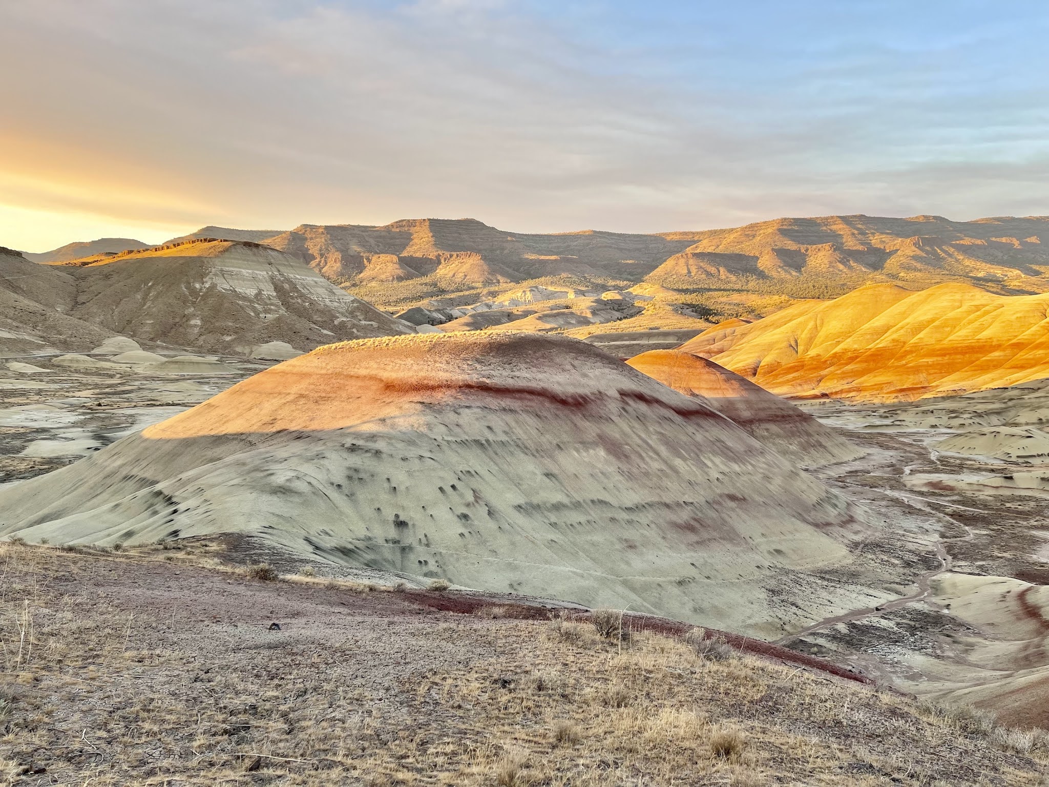
 Carly Kovacik and myself checked out the Painted Hills section of the John Day Fossil Beds National Monument during early July. Golden sunshine broke out beneath a plume of wildfire smoke just before sunset. The hills subsequently became painted as advertised. Pictures are posted below.

Google map location is here.

Family Adventures in the Rockies // Grottos Ice Caves/Mount Sherman

 My mom and nephew made a trip to central Colorado during early summer and we all had a blast hiking a couple of unique geological features,...