Friday, May 20, 2022

Mount Thielsen - Oregon Cascades

 Carly Kovacik and I got a late start up Mount Thielsen (around 9 am) and that likely cost us a summit due to unrelenting leg-deep post-holing hell that slowed us down to a crawl during both the ascent and descent. Nevertheless, this was still a fun day on the mountain, due in part to perfect weather, and also sustained route finding along a ridge toward the upper slopes, and then through the wooded wilderness as the sun set. I will definitely be back to finish Thielsen when the snow has melted.

Google map of Thielsen is here. YouTube video is here.


Mount Shasta - Avalanche Gulch Route

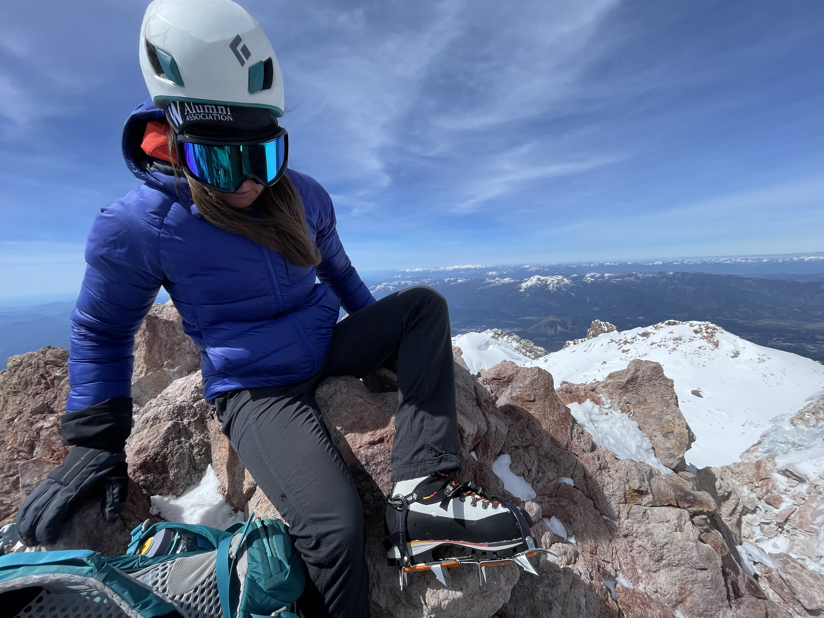
 Carly Kovacik and myself departed the Bunny Flat trailhead at around 1 am on May 18th, trekked past Horse Camp, and then ascended up rock and snow to the 50/50 Flat. Another ascent was made past Lake Helen, and then a steeper slope was encountered on the way to the Red Banks. Carly and I put on our crampons at this point...however, a slip on the way to the Banks probably would have resulted in nothing more than a long slide without injury or death. We also had to battle through showers of ice chards raining down upon us from higher up on the mountain. I faced the top of my helmet into the ice storm which protected most of my body from the needle-like daggers of icy debris.

The sun was starting to rise above Shasta by the time we reached the Red Banks, and an ominous cloud cap was swirling above the summit...a clear sign that winds would be hellacious when we got higher on the mountain. We found a chute that gave access through the Red Banks...somewhat steep, but nothing technical that crampons and ice axe couldn't handle. We then traversed left toward and then up Misery Hill. The hill wasn't all that miserable, except for the ever present wind that knocked me over multiple times during the next few hours.

Carly and I continued past Misery Hill, and the wind continued to strengthen...particularly through cols, gaps, and saddles in the mountain terrain. I estimated 70 mph gusts, while Carly's estimate was higher in the 90 mph range. We soon traversed across a large flattish volcanic crater, and the smell of sulfur became substantial despite the wind. The strongest winds were encountered as we departed the crater and approached the base of the final summit block. After a short series of switchbacks we found ourselves at the top. 

After a brief respite at the top we started our descent. It was mainly a battle with the wind. The down climb through the Red Bank chute was also interesting...my first steep snow down climb...it took me forever to get down as I front pointed on my crampons with each step and swing of my ice axe, but I made it without incident. We then glissaded down portions of Shasta before running out of steep slope...the snow was also turning soft, so we transitioned to a long slog back to the trailhead. Unfortunately my mountaineering boots were not properly fitted and my feet suffered through some terrible pain. In addition, I didn't apply enough sunscreen to my face, and sunlight reflecting off of the snow resulted in a bad burn that later turned into some hideous swelling.

Map of Mount Shasta can be found here. YouTube video is here.


Tuesday, February 15, 2022

Rhyolite, NV/Titus Canyon/Ubehebe Crater - Death Valley National Park

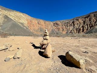
 Carly Kovacik and myself checked out the ruins of Rhyolite, NV during early February. Rhyolite is a ghost town located between Death Valley and Beatty, NV...I've explored it once before during 2015. Not much has changed, but it is a fun escape back into history and the Wild West. After Rhyolite we drove through Titus Canyon, and then after descending back into Death Valley, we headed north to Ubehebe Crater. We descended hundreds of feet into the bowels of the maar, and then slogged our way back up to the crater rim. That was followed by a scenic trip around the periphery of the crater, as well as a few sub-craters. 

Google map location for Rhyolite, NV is here; Titus Canyon here; Ubehebe Crater here.


Saturday, February 12, 2022

Mesquite Flat Sand Dunes/Gower Gulch&Red Cathedral&Golden Canyon/Evening Vistas - Death Valley National Park

 Carly Kovacik and myself woke up a few hours before sunrise during early February and trekked deep into the Mesquite Flat Sand Dunes. We made it to the tallest sand dune, which we named Mount Sandy, just as the sun rose above the eastern mountains of Death Valley. We took our obligatory sunrise sand dune pictures, and also got some video of a guy sand-boarding down Mount Sandy. After our sand dune adventure we headed south and hiked Gower Gulch to Zabriskie Point. We then did the ridge that traverses across the top of Red Cathedral. It was a fun airy trek above the Badlands, and we hoped we could find a route back down to Golden Canyon, but no such luck. So we backtracked a few miles, descended from Zabriskie, and then meandered through Golden Canyon back to the trailhead. Carly and I ended the day driving 50 miles to the east side of the Sierra Nevada Mountains, and then drove back into Death Valley and caught the mountain shadows creeping across the valley at sunset.

YouTube vide is here. Google map location is here (sand dunes), and here (Gower Gulch/Cathedral/Canyon).


Thursday, February 10, 2022

Telescope Peak - Death Valley

 Carly Kovacik and myself ascended the ultra-prominent Telescope Peak located in Death Valley during early February. We started hiking from the Wildrose Charcoal Kilns, since the road beyond that point was closed for the winter season due to ice and snow. We hiked steeply to Mahogany Flats Campground, and then transitioned to a more gently sloped traverse along the east side of Rogers Peak. However, the traverse involved multiple snow sections that would involve a very long slide down the mountain if one of us lost our footing. Thankfully our footing was sure, and the terrain became less sketchy after we left Rogers Peak behind us. We then bypassed Bennett Peak, which was followed by the final half mile up a very steep ridge that led to the summit of Telescope. Snow was generally firm the entire way up the ridge, but once again, a fall could be potentially bad, especially during the final hundred feet of ridge-climbing. 

After reaching a minor false summit, we hiked an additional couple hundred yards to the true summit of Telescope. The sky was completely cloudless, and the views of Death Valley 11,000 feet below our feet were fantastic, as were the views of the Sierra Nevada Mountains to our west. After a short brisk windy break on the summit, Carly and I departed back down the mountain. Total trip time was 9 hours exactly, mileage was around 14, and the vertical ascent was ~5,000 feet.

YouTube video is here. Google map location is here.


Thursday, February 03, 2022

Superstition Mountains - Arizona

 I took advantage of a four-day break from work and booked a flight to Phoenix, AZ for a quick hike in the Superstition Mountains. I did around 13 miles down the First Water, Second Water, and then Boulder Trails. I trekked past Battleship Mountain and then ascended a steep lonely volcanic butte that overlooked a stream valley and the distant towering Weavers Needle. This group of mountains located east of Phoenix offer some really pristine desert hiking full of rugged views, gigantic saguaro, wildlife, and a bit of scrambling for those looking for an added challenge in their hike. Definitely worth a return trip for future in-depth exploration.

Google map location is here.


Wednesday, December 08, 2021

China Gulch Trail to Grizzly Lake - Trinity Alps

 I did around 15 miles and ascended 5500 feet on December 7th during a hike out and back to Grizzly Lake. The lake is accessed via China Gulch Trail, which is located in a remote section of the Trinity Alps southeast of Cecilville in Siskiyou County. I started the hike at sunrise and immediately encountered incinerated forestland, where trees in some sections are burnt down to the size of toothpicks due to wildfire occurring during the summer of 2021. Tree debris was scattered everywhere, and the soil had a soft clay like texture due to intense roasting under the fire. Otherwise, I ascended a ridge, and after its crest, descended into a valley and worked my way across increasingly complex terrain toward Grizzly Lake. Grizzly Creek produces abundant waterfalls, and could be a worthy photography objective during a future trek. Scenery opens up during the last mile to the lake, and the final challenge involves passage across a boulder field, followed by a 100 foot scramble up a series of gullies. From the gullies, I followed granite slabs a short distance and reached the lake. The weather was warm for December, and I spent 30 minutes soaking up rays before returning back to my truck, which I reached just after sunset. 

YouTube video is here. Google map location is here.


Family Adventures in the Rockies // Grottos Ice Caves/Mount Sherman

 My mom and nephew made a trip to central Colorado during early summer and we all had a blast hiking a couple of unique geological features,...