Friday, August 07, 2020

Mount McLoughlin - Oregon Cascades

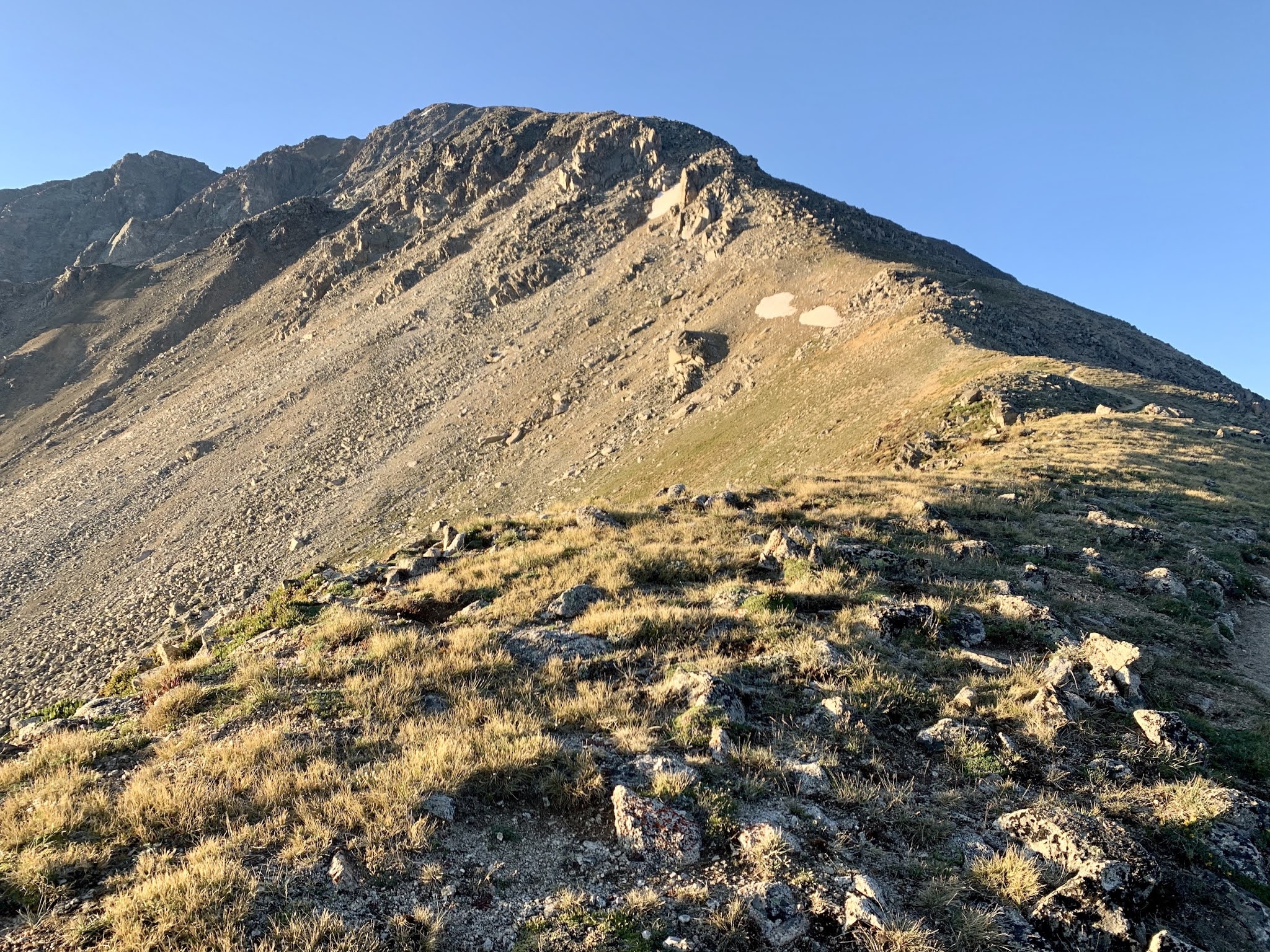
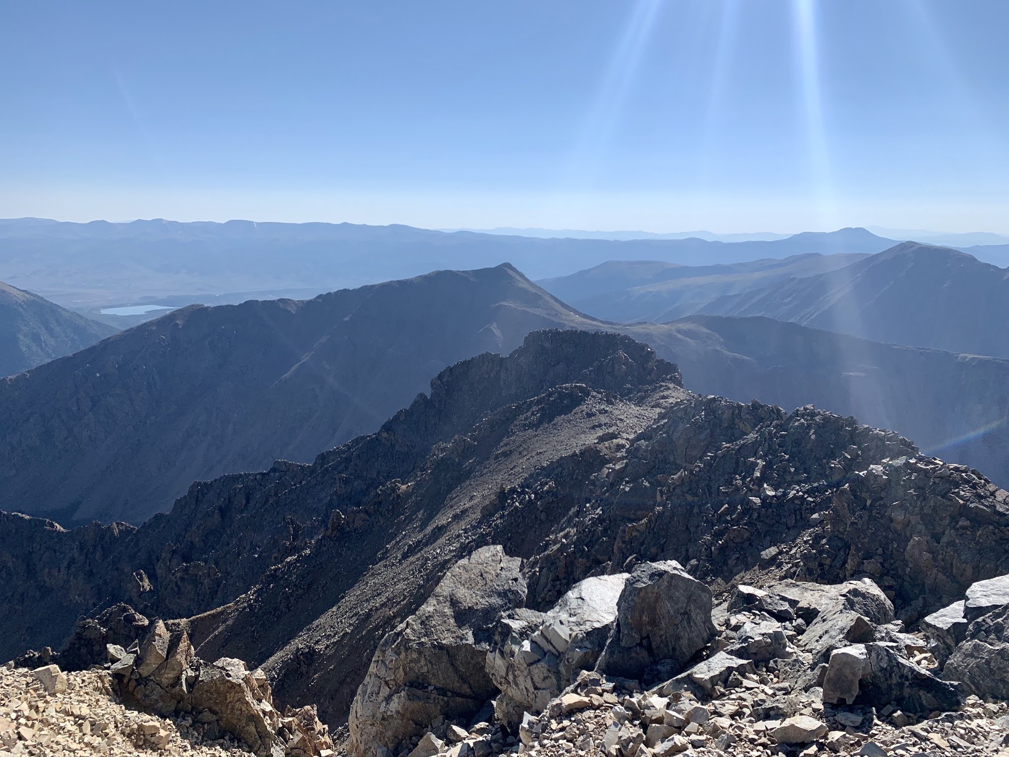
 I hiked Mount McLoughlin (9,493 feet), a stratovolcano located near Medford, Oregon, on August 7th. I began my hike at 6:30 am, and followed a relatively flat trail through wooded terrain for several miles. The trail links up with the PCT for a short stretch, and then diverges up the east ridge of the volcano. I broke out of the trees by 8:30 am, with Mount Shasta coming in to view toward the south. The hike becomes steeper during the last mile and much more loose due to volcanic material strewn about. Luckily there is solid rock to climb, which provided a way to bypass the loose trail for the most part. By 10:00 am I summited. After a brief chat with another hiker, I took in the impressive views from the top, including glimpses of the rim of Crater Lake and the southern most "Sister" located on the distant north horizon. The summit is not wide by any means, and the terrain drops off dramatically on all sides, which was somewhat exhilarating until I dulled the sensation with my summit beer. By 10:30 am I decided to head back down the mountain, and reached my truck by 1:00 pm.

Google map location is here.

Tuesday, August 04, 2020

Bonneville Salt Flats, Utah

View of the Bonneville Salt Flats from I-80 a few miles east of the Utah/Nevada border. Google map location is here.

Saturday, August 01, 2020

La Plata Peak - Standard Route

After nine days of hiking in Utah and Colorado, Carly and I chose La Plata Peak (14,343 feet) for our grand finale. We reached the trailhead at 2:30 am, and intended to ascend Ellingwood Ridge to the summit. We started off on a dirt road and overshot the exit onto the trail by a good half mile. We back tracked and found the trail, and then traversed through dark forest looking for a side trail that would lead us to the Ellingwood route. We did find the side trail, and we followed it east for about a mile. Then, the trail dispersed into nothing. We couldn't find any sign of the route. We didn't want to waste precious time searching for this trail only to leave us on the ridge later in the day as thunderstorms brewed. So, we gave up Ellingwood Ridge and decided to lock in the summit via The Standard Route.

I hiked The Standard Route with a group of friends years ago, and time has a way of erasing painful memories...those memories being the unrelenting upward climb toward the summit of La Plata. There was one stretch of trail that passed by a meadow in which we got a chance to rest our legs thanks to relatively flat ground...but that stretch transitioned back into steep switchbacks that eventually brought us to the northwest shoulder of La Plata. We then scrambled through several boulder fields, and finally, after six hours (one or two of which were wasted on bad route finding at the beginning of the hike), we reached the top. We participated in the usual summit activities, and then began a long descent that wrecked my toes. After ten hours we reached my truck; drove into Aspen; ate pizza and milkshakes; and then drove out to Basalt, Colorado were we had a couple of beers at the Capitol Creek Brewery.

Google map location is here.

Storm Chase // 16 April 2024 // Southeast Iowa Tornadic Supercell

 I chased southern Iowa on April 16th and was rewarded with an intense EF2 producing tornadic supercell west of Burlington, IA. I departed F...