Wednesday, October 21, 2020

Grasshopper Peak - Humboldt County California

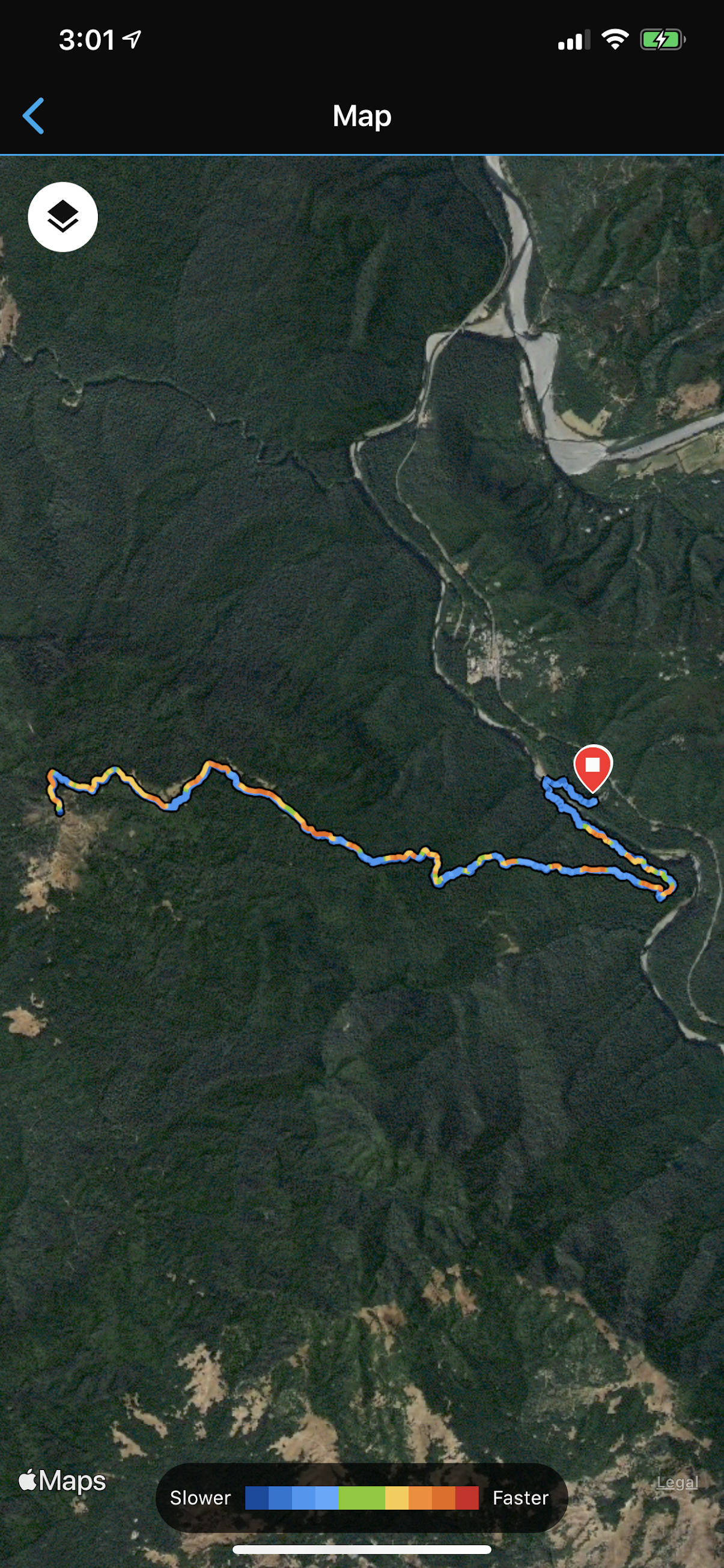
I hiked Grasshopper Peak (3170 feet) during mid October. I started the hike at the Humboldt Redwoods State Park visitor center trailhead under a deck of stratus and fog. The first section of the hike meandered through redwoods, then transitioned to a river crossing (which can only be done during the driest months of the year), followed by an ascent up a river bluff. After a few miles the trail began to ascend a ridge through dense forest. The trail was fairly clean, well maintained, and easy to follow throughout the forested sections. Fog and stratus generally burned away during the second half of the hike, and I caught glimpses of Grasshopper Peak through breaks in the trees. During the last quarter mile of the hike, the trail connected with a gravel road that provided a steep path to the summit and a fire lookout tower. The wind was howling at the top, but luckily the tower provided a break from the wind which allowed me to warm up in wind-free sunshine (a snake along the trail had similar ideas). After a quick rest I ran back down the mountain and made it back to my truck in 5 hours of total elapsed hiking time. Round trip was around 15.5 miles.

Google map location is here.

Monday, October 12, 2020

Bombay Beach and Salton Sea Mud Volcanoes

I intended to hike Mount Wilson on October 11th, a large mountain towering above Pasadena and the San Gabriel Valley. Unfortunately, local government officials banned all people from hiking the trail, which included penalty of multi-year jail and hefty monetary penalties. Those penalties convinced me to forgo the hike. So instead, I decided to drive 2-3 hours southeast to the Salton Sea. In particular, I wanted to visit Bombay Beach, which is the location of the southern most point of the San Andreas Fault. I didn't find any interesting fault features at Bombay Beach, but it was interesting walking through this desert community that sits several hundred feet below sea level on the edge of a giant salty lake. 

After departing Bombay Beach, I headed farther south to a group of mud volcanoes located near Niland, CA. This area of geothermal activity is produced by an area of crustal spreading...a likely precursor to the development of an oceanic basin that will fill with sea-water during the next million years or so. I viewed these mud volcanoes at a point in the year in which the water table was low, thus boiling mud was not particularly prominent. Nevertheless, I did get to video a couple of mud-splatter cones that I've posted below. Perhaps someday these 6 foot mud volcanoes will grow a couple thousand feet more?

Google map location is here, and here.

East Los Angeles and Skid Row

I went out for tacos with a friend at Guisados in East Los Angeles during early October. The food was fantastic and I was fascinated eating in outdoor seating along Cesar Chavez Ave. I definitely wasn't in Eureka anymore. After Tacos, my friend and I drove over to the Mariachi Plaza on East 1st Street, and were serenaded with old country songs sung and played by our new friend Jose. After Mariachi Plaza, we decided to do a motor tour of Skid Row. For those unfamiliar, Skid Row is a small patch of third world poverty embedded within the wealth and glamor of downtown Los Angeles. Homeless tents line block after block surrounding the LAPD Central Community Police Station; human waste covers the curbs and sidewalks; and drug addicts and the mentally ill walk the streets in a zombie-like daze. This is truly the most desperate place in America that I have witnessed. I know there are other places similar to Skid Row in other big cities, but this was my first taste of absolute poverty...a place where the government apparently has given up a chunk of prime city property to the homeless. I wonder how business owners feel seeing such a sight in front of their property day after day?

Google map location is here.


Sunday, October 04, 2020

Quandary Peak

I hiked Quandary Peak (14,265 feet) during early October. This mountain is likely one of the easiest 14'ers in Colorado...the trailhead starts off at an elevation of 10,850 feet, and the roundtrip mileage is less than 7 miles. I did it in less than 5 hours...I might have finished in 4 hours, but started the hike out with a relatively slow hiking partner who ran out of gas shortly after treeline. Past treeline, I hit a short flat area that led to the final 1000 feet of climbing up a shoulder that gives access to the summit. I estimated there were at least 100 people lounging at the top...possibly more. I've never seen so many people hiking the same mountain, except perhaps Longs Peak. I shouldn't have been surprised though...Quandary is an easy hike located close to Denver, the weather was perfect, it was a weekend, and winter was fast approaching. I can't blame anyone for getting out into nature and away from the mask-wearing madness for a few hours.

Google map location is here.

Storm Chase // 16 April 2024 // Southeast Iowa Tornadic Supercell

 I chased southern Iowa on April 16th and was rewarded with an intense EF2 producing tornadic supercell west of Burlington, IA. I departed F...