Anca and I hit up different spots on the San Andreas Fault as we made our way south from Point Reyes to Parkfield, CA. Near Point Reyes, we stopped at the town of Olema for lunch, and then drove a bit west to the Bear Valley Visitor Center. From there, we walked the "Earthquake Trail," which took us past the 1906 rupture zone captured in this famous photograph after the great quake (click
here).
During the next day, we repositioned south to Hollister and toured some dramatic examples of fault creep located on 6th Street across from Dunne Memorial Park, and another block north along 5th street. The Calaveras fault branches off from the San Andreas near Hollister, and takes up some of the motion between the Pacific and North American plates...mainly in the form of aseismic creep motion within the city of Hollister. Anca and I viewed about a foot of offset in a street sidewalk slab, and photographed the famous bend in a concrete retention wall that is situated in front of a nice Victorian style house.
The next day, we drove south to the De Rose Winery, both to taste their selection of wines, and to view the destructive forces of the San Andreas Fault as it slowly shears the winery in half. The wine was delicious, and the geology tour was fantastic. On the south side of the winery, the fault slices through a concrete ditch, which as you would guess, is being torn in half. On the north side of the winery, the distillery is literally being torn apart, evident by the north wall bulging several feet.
Following De Rose, Anca and I hiked in Pinnacles National Park. During the drive out to Pinnacles on Highway 25, I noticed what seemed to be a crack in the road accompanied by a noticeable bump as I sped by. After our hike during the drive back to the hotel, I slowed down to reexamine the crack and bump, and also noticed a hill-feature that appeared to be a pressure ridge. We stopped, and sure enough, the classic echelon pattern typical of a fault slicing concrete was present. Amazingly, I believe you can see the fault trace in the highway pavement in Google Maps satellite view...the lat/long is 36.598439, -121.194528.
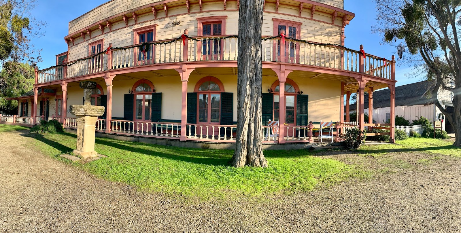
After Pinnacles, Anca and I walked around Mission San Juan Bautista, which was established in 1797, but suffered significant damage in 1800, and again in 1906 due to its immediate proximity to the San Andreas Fault, which bounds its eastern border running along the original El Camino Real. We walked the fault scarp and found two fence posts that are offset by about a foot; one a bit closer to Alaska than the other. We assumed that offset marked the location of the fault.
Finally, Anca and I drove farther south to Parkfield, CA, the so-called earthquake capitol of the world. Parkfield resides on the San Andreas Fault, and experiences a magnitude 6 earthquake every 20-30 years. We viewed the well-photographed bridge that spans across a small creek and sits atop the fault. The bridge showed a clear bend, with the western portion curving toward the north, and the eastern end curving toward the south. A pull-off near the east side of the bridge served as a perfect spot for a midday picnic...unfortunately the 20-30 year magnitude 6 quake didn't occur during our lunch.
(Click on picture captions below for map locations)
 |
| Cement retaining wall offset due to aseismic creep along the Calaveras Fault in Hollister, CA. |
 |
| San Andreas Fault echelon crack across Highway 25 between Hollister and Pinnacles National Park. |