I caught a morning flight from San Francisco to Denver on my birthday in order to chase a seemingly perfect High Plains supercell tornado environment. After securing a rental car at DIA, I drove north on I-25 toward Cheyenne. During the drive, I debated on whether to chase far northeastern Colorado, or continue north and chase southeast Wyoming. Short-term model guidance seemed to indicate the best environment would develop in Wyoming by late afternoon, with moist upslope easterlies in northeast Colorado eventually being overtaken by dry hot downslope southwesterlies. So I continued to Cheyenne, refueled, and then blasted north toward a strengthening supercell. I reached this storm as it was crossing I-25 in Platte County. The storm displayed classic supercell characteristics on radar, including strong rotation, and was promptly given a tornado warning by NWS Cheyenne.
I then moved east and north with the storm, accompanied by a caravan of other chases, through rural Wyoming. The storm developed a large wall cloud after going through an initial mesocyclone occlusion. It was at this stage that I thought a tornado would be imminent. However, the storm occluded a second time, and then a third without producing a tornado. During the third occlusion, large plumes of dust were kicked up by an intense RFD. In addition, the third occlusion was accompanied by intense upward vertical motion, yet still failed to produce a tornado. I then got cut off from the storm by a mud road...which admittedly, I could have attempted to drive on, but would have taken the risk of getting stuck, and I would have driven through the rear flank precip/hail core, which is a part of the storm I desperately wanted to avoid. In addition, my rental car indicated my right-rear tire was loosing air. Fate and luck were against me, so reluctantly I turned the car around and searched for classic High Plains scenery, that I could use to salvage my trip with a beautiful landscape photograph. I was in luck; I found a gorgeous scene that you can
view here.
 |
| Strong mesocyclone occlusion with classic clear slot. |
 |
| Plumes of dust being kicked up by a strong RFD. |
 |
| Third mesocyclone occlusion that observed. The storm tried very hard to produce a tornado at this stage. |
 |
| Another view of the third occlusion. A small quasi-horizontal funnel is tucked up under the occluded base. |
 |
| Mud run...game over. |
 |
| 250 mb - Valid 00Z 13 June 2017. |
 |
| 500 mb - Valid 00Z 13 June 2017. |
 |
| 850 mb - Valid 00Z 13 June 2017. |
 |
Surface observations valid 22Z 12 June 2017.
 |
| Visible Satellite Image - Valid 2045Z 12 June 2017. |
|
 |
| SBCAPE valid 21Z 12 June 2017. |
 |
| 0-8 km Bulk Shear valid 00Z 13 June 2017. |
 |
| 0-1 km SRH valid 00Z 13 June 2017. |
 |
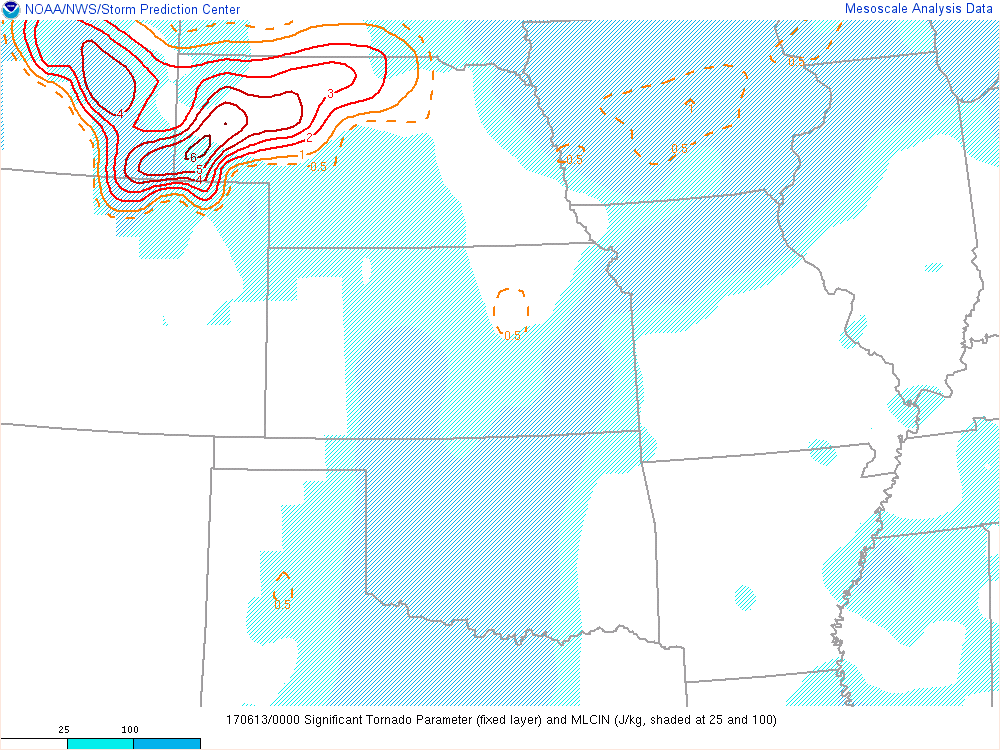
| Fixed Layer STP valid 00Z 13 June 2017. |


1 comment:
This blog is definitely entertaining additionally factual. I have picked up helluva helpful tips out of this amazing blog.
Post a Comment