Monday, June 21, 2021

Mount Jumbo - Juneau, Alaska

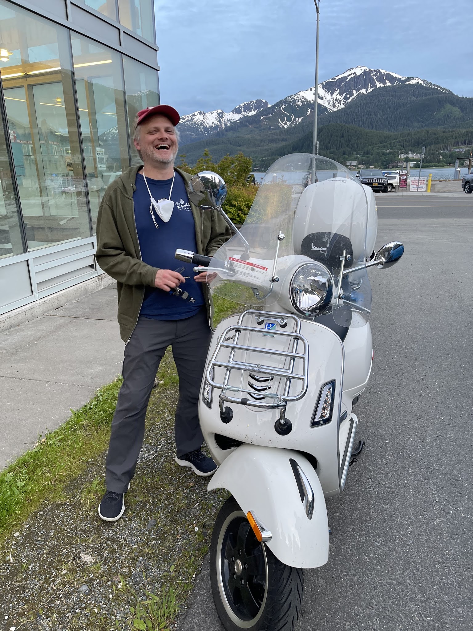
 Carly and I ascended steep root covered slopes to the snowfields of Mount Jumbo during mid June. We followed another parties trail for a while. Those steps ended, and we ascended based on my memory of the route from 5+ years ago. The crux of the route turned out to be a snowbridge that led to a moderately steep headwall. We ascended the headwall via rock, grass, and snow, and then made quick work of snowfields that led to the summit of Jumbo. After 30 minutes of basking in glorious southeast Alaska sunshine, we went back down. There were some sketchy down climbs through snow slopes angled 30+ degrees, but we managed to conquer them all in somewhat inglorious style. Finally, after 6 hours, we finished the mountain. It was a fun outing...we experienced a little bit of everything, from root climbing, bushwhacking, route finding, and steep snowy mountaineering. After our day in the mountains, we spent an evening with Wes Adkins at the Downtown Juneau McGivney's...much laughter and storytelling was had.

YouTube video is here: [https://www.youtube.com/watch?v=FXcICFd7Y58]. Google map location is here.


Gastineau/Gold Mountain - Juneau, Alaska

 Carly and I set off toward the Mount Roberts Tram with the intention of ascending Gastineau Peak during mid June. We made good pace past the tram, then ascended the long ridge toward Gastineau. Skies cleared partially and the views became epic. Unfortunately, when we arrived at the final section leading to the summit of Gastineau, a long giant cornice came into view. We did not have the gear to safely tackle the cornice, so we turned toward an easier destination, Gold Mountain. The views were just as rewarding from Golds, and I was happy to simply experience a high alpine environment despite missing out on Gastineau. After Golds, we made quick work back to the trailhead and celebrated our day in the mountains with pizza and beer at the Island Pub on Douglas Island.

YouTube video is here: [https://www.youtube.com/watch?v=7WQvZwfmXpo]. Google map location is here.


Mendenhall Glacier - Juneau, Alaska

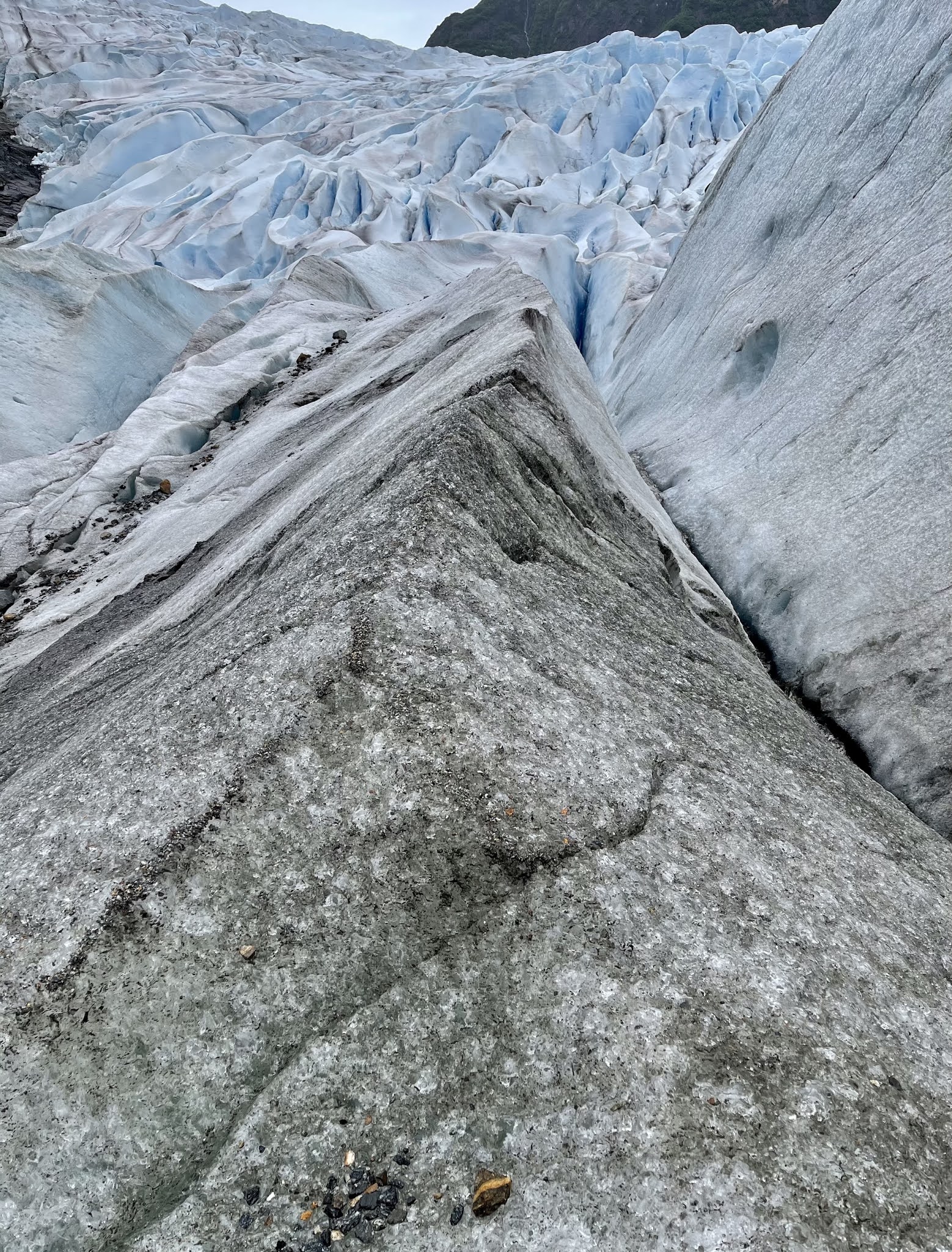
 Carly and I trekked out to Mendenhall Glacier during mid June. The route to the glacier was just as much of a jungle as I last remembered it to be. There were a few bruises here or there due to wet rocks and roots, and route finding was complex due to abundant plant growth concealing past routes. Nevertheless we made it to the glacier. There has been a tremendous amount of glacial decay since I last visited five years ago. What was once an ice cave is now a rocky stream devoid of any ice. The glacier has retreated hundreds of yards, and it has become vertically thin. In some sense sad, but this is our ever-changing dynamic planet in action.

YouTube video is here: [https://www.youtube.com/watch?v=Vd9JKMZxBcg]. Google map location is here.


Sunday, June 13, 2021

Stoney Ridge - Trinity Alps

 I hiked 5 miles and ascended 3000 feet to the Stoney Ridge Pass in the Trinity Alps on my birthday, June 12th. Upon arriving at the pass, I met two women who were resting before advancing west beyond the rocky prominence. My next objective was Red Mountain. I climbed up a ridgeline into the clouds and reached a point that might be Red Mountain, but I can't say for sure due to near zero visibility resulting from thick cloud cover. I will have to come back, likely in the fall, and definitively obtain the summit in clear skies. Nevertheless, it was a fun outing in the mountains. Pictures and video are posted below.

Google map location is here.


Tuesday, May 25, 2021

Mount Saint Helens - May 2021

 Carly Kovacik and myself made an attempt on Mount Saint Helens on May 24th. Unfortunately the weather window for the summit was closed. We received an unfortunate one-two punch of bad weather, getting drenched by light to moderate rain while ascending the lower slopes, and then being pummeled by 20-40 mph winds and snow/sleet near 7000 feet. Our clothing was soaked as we worked our way up above the freezing level, including gloves, which led to hands turning into blocks of ice as we encountered strengthening winds blowing across the upper slopes. Adding insult to injury, my crampons kept coming off, which seemed like a bad omen as we reached steep snow near the summit. The mountain gods were conspiring against us during this climb, which we recognized 500 to 1000 feet below the rim of the volcano. We turned around to climb again another day. May weather can sometimes be fickle in the Cascades...maybe we will try snow covered Saint Helens during the off season of winter 2022. 

I took one picture during this miserable hike of Chocolate Falls while descending back to the trailhead, and I also grabbed a screen capture of our gps route. Carly donated some of her GoPro video as well...I particularly like the glissade.

Google map location is here.


Saturday, May 15, 2021

Long Canyon to Deer Creek Pass

 I hiked Long Canyon for the second time in two years. The route was as scenic as ever, with mountain spires towering over both sides of a U-shaped valley located above treeline. However, one major difference from two years ago was a stark lack of snowpack. I eventually encountered a solid snowfield at the pass, but the ground was mainly dry in the valley below. This speaks to the emerging drought and water crisis that California will be facing during the coming summer and fall. Otherwise, I lost the trail due to snow during the last half mile to the pass. I bushwhacked straight up a rotten slope of loose rock and dirt, and then traversed a long snowfield that led to my destination, Deer Creek Pass. On the way back down, I followed day-old footsteps that helped me regain the true route down the pass. I had fun plunging down snow slopes for half an hour. I then exited the snow and took the familiar trail back to my truck. This was approximately a ten mile hike, starting at an elevation of 3800 feet and ending at around 7500 feet.

Google map location is here.


Saturday, May 01, 2021

Yearly Salmon Mountain Hike

A day off on May 1st gave me an opportunity to hike Salmon Mountain, a peak I've come to enjoy hiking during early spring when the snow pack is deep in the upper elevations of the Klamath Mountains. As is typical of early May, I had to park about a half mile from the Salmon Mountain trailhead due to very deep snow covering the road I was driving on. I made my way through dense forest, after passing the trailhead, and grazed upon a landscape modified by wildfire (or a prescribed burn) occurring during the past year. The last half mile to the summit was a fun slog up steep snow covered slopes. Dense clouds broke as I reached the top and I was given peaks at the surrounding mountains in between cloud breaks. The descent back to my truck was non-eventful, with the exception of a brief slide down a snow slope. Once again, another great inaugural mountain climb on Salmon Mountain.

Google map location is here.


Wednesday, March 31, 2021

The Best of California

Today was one of those days when California lived up to its hype. The sky was virtually cloudless, late March temperatures were in the 60s, and the wind was calm. Zahaira Velez and myself took advantage of the pristine conditions and hiked 500 feet up to "Strawberry Rock" located near Trinidad, CA. We soaked in the rays and views on top of the rock, and then drove to Trinidad for pizza. After food we relaxed on the beach for 30 minutes and watched the sun go down across the ocean horizon. Zahaira got a great time lapse of that action which I posted below.

Google map location is here.


Family Adventures in the Rockies // Grottos Ice Caves/Mount Sherman

 My mom and nephew made a trip to central Colorado during early summer and we all had a blast hiking a couple of unique geological features,...